Chicago Region Trees Initiative

Chicago Region Trees Initiative Priority Maps

See where trees are needed most urgently in the Chicago region.

People and trees

Use the map layers below and the combined interactive map to see your community’s tree canopy cover and how trees impact your neighborhood.

Trees improve quality of life, but their benefits are not enjoyed equally across the region. To identify where trees are needed most urgently, The Morton Arboretum’s Chicago Region Trees Initiative combined canopy cover, surface temperature, air quality, flood risk, health, and social vulnerability data into the map layers below.

Tree Canopy

Trees in the Chicago region are not distributed evenly or equitably. The Chicago region has 23% canopy cover, far below the national average.

This map shows the percentage of canopy for each census tract. Tree canopy data comes from a LiDAR-based analysis that can identify trees with less than a four-square-foot canopy.

Canopy cover
  • Very High
  • High
  • Medium
  • Low
  • Very Low
View combined map

Surface Temperature

Trees keep our neighborhoods cool.

Urban areas tend to be hotter because concrete and other built surfaces absorb the sun’s energy and slowly release it as heat, raising temperatures to dangerously high levels that make cities less livable and require more energy for cooling.

This map shows the average temperature for each community. There is a direct correlation between canopy cover and excessive heat; areas with more trees tend to be much cooler. Temperature data were derived from a satellite image that was taken in September of 2021.

Surface temperature
  • Very High
  • High
  • Medium
  • Low
  • Very Low
View combined map

Flood Risk

Their leaves hold rainwater, preventing it from entering the sewage system.

This map shows how susceptible each community is to flooding. Higher values indicate more susceptible areas.

Flood risk
  • Very High
  • High
  • Medium
  • Low
  • Very Low
View combined map

Air Quality

Trees help keep our air clean and breathable.

Their leaves intercept airborne pollutants. Trees that are planted in areas that have poor air quality can improve the health of residents.

This map shows air toxins as measured by the Environmental Protection Agency. Higher numbers indicate areas with more airborne toxins

Air pollutants
  • Very High
  • High
  • Medium
  • Low
  • Very Low
View combined map

Asthma Rates

People who live in areas with lots of trees tend to have lower rates of asthma—in part because of trees’ ability to improve air quality.

Data from the CDC Places dataset was used to map adult asthma rates across the region. The numbers are the percentage of people 18 years and older who are affected by asthma.

Asthma rates
  • Very High
  • High
  • Medium
  • Low
  • Very Low
View combined map

Vulnerable Populations

Trees can also improve people’s quality of life.

They increase property values, and people who live around trees are healthier and happier. The benefits that trees provide are especially needed in underserved, vulnerable communities. This data set identifies which tree census block groups are the most vulnerable by distinguishing those with low incomes, non-English-speaking, and a high proportion of minority populations.

Vulnerability rank
  • Very High
  • High
  • Medium
  • Low
  • Very Low
View combined map

Priority Areas

To identify areas that have the highest need for improved tree canopy and its related benefits, we combined all of the above variables.

Equipped with this knowledge, CRTI can tailor programs, events, and training programs to improve the urban forest where it is needed the most.

Priority level
  • Very High
  • High
  • Medium
  • Low
  • Very Low
View combined map

Community Tree Canopy Summaries

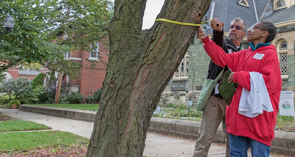
Explore the Community Tree Canopy Summaries to view or download a summary of your community’s tree canopy coverage. Each report provides data showing the multiple benefits that trees provide people and compares those data to similar communities. The data and visualizations in each report can support efforts to protect trees and guide tree management plans for your community.

View your community's report

Canopy Counts Program

The Canopy Counts Program provides a simple and fun tool for residents to help their communities track trees and tree-ready spaces across the Chicago region, while learning more about the benefits provided by those trees. Information gathered through the program will help CRTI, your local government, and community organizations understand how best to care for trees so they provide the most benefits for our neighborhoods.

Learn more: Canopy Counts Program

Oak Connectivity Map

Oaks are a critical part of the Chicago region’s ecology. However, the region is down to 17% of the oak ecosystems that were here prior to European settlement in the early 1800s. The remaining oak ecosystems are often fragmented, which makes them more likely to be invaded by nonnative species. This map provides a guide for where oak ecosystems still exist and where buffers and corridors to improve ecological function can be formed to connect these fragments.

Learn more: Oak Connectivity Map

Support the Arboretum’s vision of a greener, healthier, more beautiful world where people and trees thrive together

Make a gift